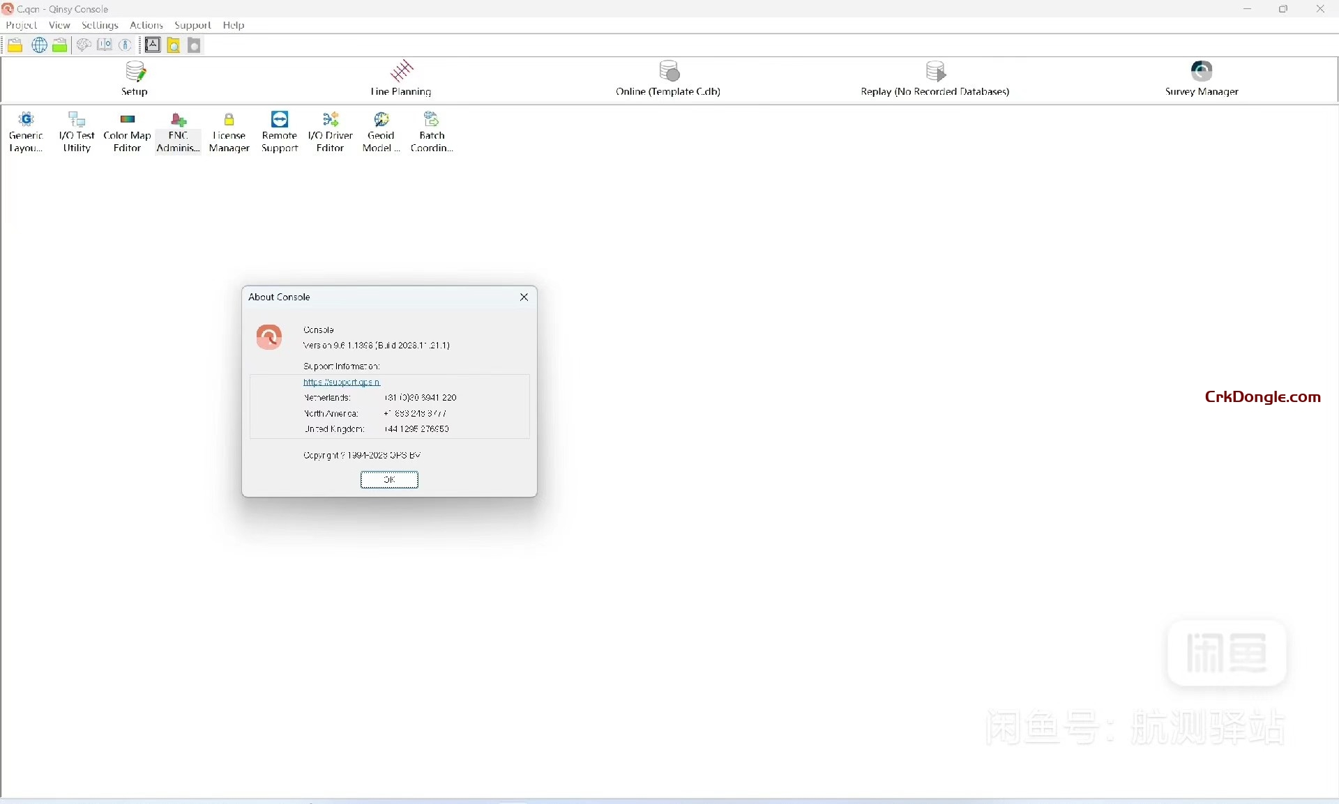
qps Qinsy is a survey planning, acquisition, and real-time hydrographic data processing solution, supporting a wide variety of industries.
QINSy (Quality Integrated Navigation System) is a hydrographic survey software developed by the Dutch company QPS BV since 1995. The latest version is v8, including modules such as QINSy Survey, QINSy Lite, QINSy Office, etc. QINSy is a powerful and reliable program suite based on PC. QINSy is a powerful and reliable PC-based program suite, developed in C++ and running on the 32-bit operating system Windows 2000/XP.
QINSy qinsy is an integrated system:
● A maximum of 999 different observations from interacting measurement devices can be combined in a calculation.
● Run as many calculations and open as many display windows simultaneously as the computer hardware allows.
● Provides strict quality control using advanced statistical testing techniques in the calculations.
●Follows Microsoft’s user interface principles.
●It means that computational power is the limiting factor in operation.
●Supports all multi-channel communication motherboards, which are also supported by WinNT/2000/XP.
SeaBat 6042 from Reson (USA) is a navigation and surveying software package developed on the basis of QINSy Survey v6.6 (1998 version), and the latest version is currently v7.2. The software can be connected to a wide range of navigation and bathymetry equipment (multibeam or single-beam), and is relatively powerful. It mainly includes the following modules:
PROJECT MANAGER — project management module, the module is mainly for the management of measurement data files (*.db), including measurement equipment database settings, online measurement, data analysis (filtering), data playback, data output, cloning settings and other functions.
LINE DATABASE — Measurement line editing module, the module mainly completes the design and editing of measurement lines, boundaries and points, and forms the measurement line file (*.pro).
SOUNDING GRID — Bathymetric grid module, this module is mainly used for the shape of

