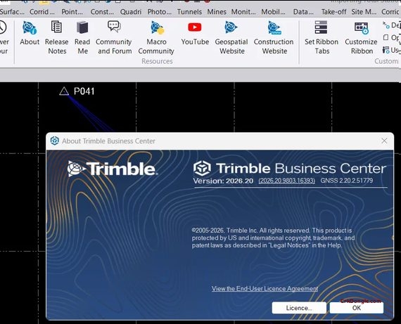
Trimble Business Center (TBC) v2026.20 is a major update focused on connected workflows, AI-powered point cloud classification, and construction/scanning enhancements, alongside the introduction of a new TBC Buildings module .
🆕 Key New Features in v2026.20
TBC Buildings Module (New)
A new module for construction layout workflows, available in Core and Pro subscription tiers. Core covers data prep to layout delivery; Pro adds scanning capabilities including point cloud processing, QA/QC, and reporting .
Connected Workspace & Field Integration
-
Siteworks Support: Import Trimble Siteworks work orders directly into Connected Workspace .
-
Trimble ST30 Support: Completes the field-to-office data flow for the new ST30 Smart Target .
Point Clouds & Scanning
-
Indoor Classification Upgrade: Now uses a 3D deep neural network for more precise identification of MEP, columns, and floors in active construction sites .
-
Pavement Inspection Enhancements: Manually add asphalt cracking conditions (Alligator, Transversal, etc.), manually edit jointed concrete PCI, and generate a new Pavement Inspection Report for airport pavement analysis .
-
Scan Export: New structured E57, RCP, and PTX export capabilities with full color data for X Series scanners .
-
TDX Import Acceleration: Up to 3x faster processing on large projects (800+ scans) .
Photogrammetry
-
DJI M4D & L3 Baseline Processing: Added support for these drone models .
-
Large File Import: Automatically import large aerial photogrammetry result files, with support for overnight unattended processing .
-
Points to Cloud Report: Compare points to a point cloud region or scan to find the nearest scan point, accessible from the Photogrammetry > Reports ribbon .
Drafting & View Enhancements
-
Display Priority: Every Sheet object now has a property determining which objects draw on top .
-
Background Options: Dynaviews, label tables, raster images, and scale bars can now obscure content behind them .
-
Offset Lines: Create offset lines on both sides of a selected line simultaneously .
GIS & CAD
-
CAD Import Auto-Scale Detection: Reads the file’s INSUNITS variable to automatically select the matching unit (meters/feet) .
-
Coordinate System Database v118: Improved RTX support in Greece .
Mines
-
3D Mesh Export: Export Create 3D Mesh outputs as .dxf or .dwg files .