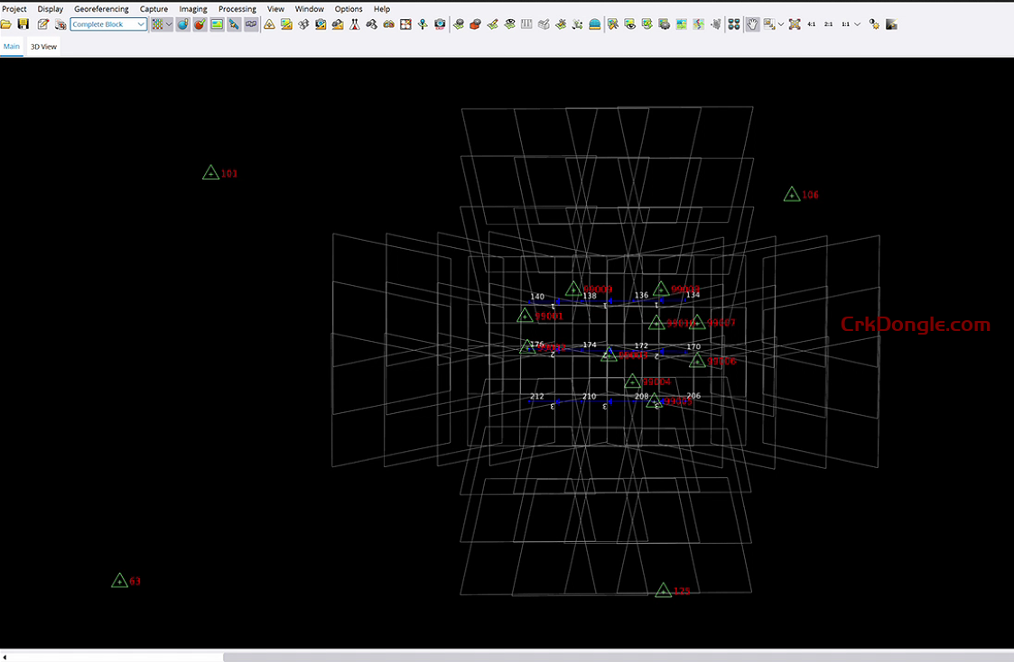
Trimble Inpho UASMaster 15.0 is a photogrammetry software designed for processing data from Unmanned Aircraft Systems (UAS) to create deliverables like digital maps, point clouds, and orthophotos. It combines user-friendly workflows with the power of a photogrammetric workstation, suitable for both beginners and experts. Key features include:
Advanced Processing: Utilizes computer-vision algorithms, GPS support, and high-quality direct georeferencing (e.g., with Applanix APX-15) for stable, reliable results with minimal manual input.
Versatility: Processes data from any UAS with frame-based cameras, including fixed-wing, multi-copters, handheld cameras, and even balloons, supporting various hardware vendors.
New in Version 15.0: Released in October 2024, it introduces Trimble RealRay technology for precise image correction, improved thin structure reconstruction, enhanced LAS/LAZ file support, optimized mesh conversion, reduced memory consumption, and added support for the DJI Matrice 30 (M30T) camera.
Applications: Used in industries like forestry, agriculture, mining, urban development, and environmental monitoring for tasks such as point cloud generation and orthophoto production.
Integration: Seamlessly integrates with Trimble Business Center and third-party workflows, with options for automatic feature extraction via Trimble eCognition.

