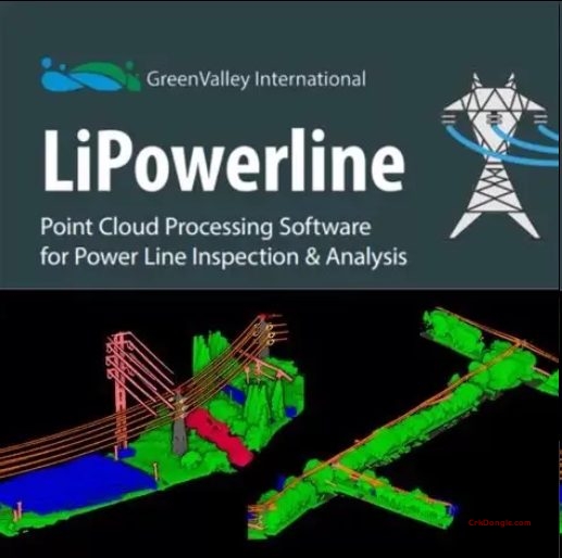
LiPowerline: Laser Radar Power Line Inspection & Analysis Software
LiPowerline is a professional LiDAR point cloud processing software independently developed by GreenValley International, specifically designed for power line inspection, corridor management, and grid infrastructure safety assessment .
Core Features
AI-Powered Point Cloud Classification
-
One-click automatic classification for 14 categories including towers, conductors, insulators, ground wires, vegetation, buildings, roads, water bodies, and noise points
-
High accuracy achieving up to 95% classification accuracy, continuously improving with enriched sample databases
-
Semi-automatic classification tools available
Powerline Corridor Hazard Analysis
-
Clearance danger point detection: Identify vegetation encroachment and other hazards within power line rights-of-way
-
Crossing span analysis: Evaluate conductor crossings and clearances
-
Tree growth and tree fall analysis: Predict vegetation risks over time
-
Multi-period data change detection: Automatically register and compare terrain, obstacles, tower tilt, and conductor sag changes across multiple data采集s
Simulation & Working Condition Warning
-
Environmental simulation: Model high temperature, ice loading, and strong wind scenarios
-
Conductor wind deflection collision analysis: Evaluate dynamic clearance under wind conditions
-
Individual tree segmentation: Precisely calculate hazardous tree location, height, crown width