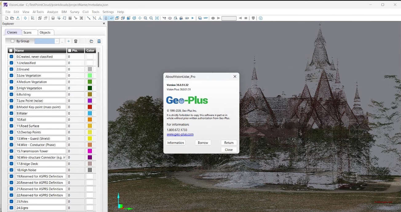
VisionLidar Pro v36.0 | Professional LiDAR Point Cloud Processing Software
VisionLidar Pro v36.0 is a powerful desktop application designed for processing, analyzing, and visualizing aerial and mobile LiDAR data. It enables surveyors, engineers, and GIS professionals to efficiently extract valuable information and create high-precision deliverables from massive point clouds.
Core Functionality Overview:
-
Advanced LiDAR Data Management: Import, classify, and visualize massive point cloud datasets from multiple sources with high-speed display and editing tools.
-
Automated Feature Extraction: Extract ground surfaces (DTM/DSM), building footprints, power lines, vegetation models, and other topographic features using robust automated algorithms.
-
Comprehensive Analysis & Output: Generate contours, cross-sections, volumetric calculations, and high-quality visualizations with export to industry-standard formats (LAS, ASCII, CAD, GIS).