Leica Infinity 5.0: The Unified Hub for Survey Data Processing
Leica Infinity 5.0 is a comprehensive office software suite designed for the processing, analysis, and management of all data collected by Leica Geosystems surveying instruments. It serves as a central platform where raw field data from GNSS receivers, total stations, and digital levels is transformed into precise, reliable coordinates and deliverables for mapping, construction, and engineering projects.
Core Function: From Raw Measurements to Certified Results
Its primary role is to act as the definitive link between field collection and final project deliverables. It performs rigorous quality control, applies corrections, and manages complex survey networks to produce results that meet professional accuracy standards.
Key Functions:
-
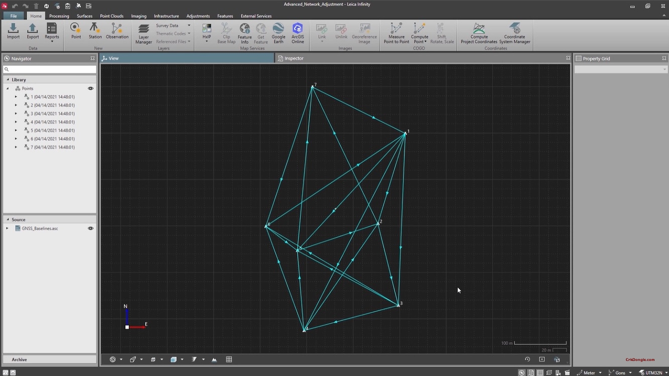
GNSS Data Processing: Processes static, rapid-static, and kinematic GNSS data using advanced engines. Supports PPK (Post-Processed Kinematic) and network adjustments for high-precision results.
-
Total Station Data Management: Imports, manages, and adjusts data from Leica total stations (including raw angle and distance measurements), performing traverse adjustments and coordinate calculations.
-
Integrated Project Environment: Manages all project data (control points, observations, photos, notes) in a single database, ensuring traceability and consistency across large and complex projects.
-
Reporting & Export: Generates comprehensive, customizable reports and exports final coordinates and data to CAD, GIS, and other engineering software formats.