n4ce Designer 4.40: The Integrated CAD Platform for Surveying and Civil Engineering
n4ce Designer 4.40 is a powerful, all-in-one Computer-Aided Design (CAD) and engineering software environment specifically tailored for land surveyors, civil engineers, and construction professionals. It serves as a central hub for processing raw field survey data, creating precise topographic maps, designing infrastructure projects, and generating construction-ready drawings and volume reports. By integrating data import, processing, design, and drafting into a single, streamlined workflow, n4ce eliminates the need to transfer projects between disparate applications, significantly improving accuracy and productivity.
Core Workflow: From Field Data to Finished Design
The software’s primary strength lies in its logical workflow that mirrors the professional process: starting with the import and adjustment of data from total stations, GNSS receivers, and laser scanners; building a intelligent digital terrain model (DTM); using that model as the foundation for road alignments, site grading, and earthwork design; and finally producing annotated plans, cross-sections, and detailed reports.
Key Functional Modules & Capabilities:
1. Survey Data Processing & Management
-
Flexible Data Import: Supports direct import from all major survey instrument manufacturers (Leica, Trimble, Topcon, etc.) and standard formats (CSV, LandXML, DXFs).
-
Robust Coordinate Geometry (COGO): Provides comprehensive tools for traverse adjustment, network analysis, and calculating points, curves, and areas with high precision.
-
Point Cloud & 3D Data Handling: Manages large datasets from laser scanners (LiDAR) for creating high-resolution surface models of existing conditions.
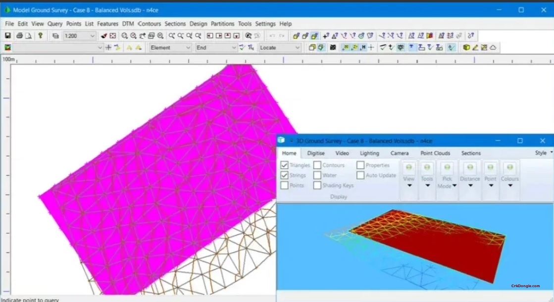
2. Digital Terrain Modeling (DTM) & Surface Analysis
-
Intelligent DTM Creation: Automatically generates triangulated irregular networks (TINs) from survey points, breaklines, and contours, creating an accurate 3D model of the ground surface.
-
Surface Analysis Tools: Peryses slopes, aspects, and elevations. Calculates cut/fill volumes between two surfaces (e.g., existing vs. proposed), which is critical for earthwork estimation.
-
Contour & Profile Generation: Automatically creates contours and generates longitudinal/transverse ground profiles along any alignment.
3. Civil Engineering & Road Design
-
Horizontal & Vertical Alignment Design: Creates and edits complex road centerlines with straights, curves, and spirals, and designs the associated vertical profile (gradients, vertical curves).
-
Cross-Section & Template Design: Defines typical road sections (templates) with lanes, shoulders, ditches, and slopes, and applies them along the alignment to model the proposed 3D corridor.
-
Quantity Takeoff: Automatically calculates material volumes for earthworks, paving, and other construction items based on the designed model.
4. Drafting, Annotation & Reporting
-
Fully-Featured CAD Environment: Includes a complete set of 2D/3D CAD drafting tools for creating detailed construction drawings, complete with dynamic annotations tied to the model.
-
Automated Plan Production: Generates standard drawing sheets, including plan views, profiles, cross-sections, and detail views, with title blocks and north arrows.
-
Customizable Reporting: Exports volumes, coordinates, and other project data to customizable reports in various formats (PDF, Excel, etc.).