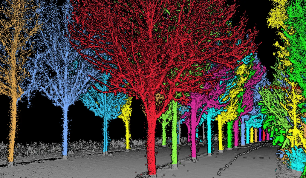
LiDAR360 is a GreenValley International’s Flagship LiDAR point cloud data processing and analysis platform, with more than 10 advanced point cloud data processing algorithms, which can process more than 300G point cloud data at the same time. The platform includes a comprehensive array of editing tools and automatic splicing functions, providing applications for the terrain, forestry, mining and power utilities industries.
The Terrain module is a suite of GIS tools used primarily for the generation of industry-standard topographic products. Our point cloud filtering algorithm can precisely extract ground points under complex landscapes and therefore improve the terrain surveying accuracy. The module also generates more advanced topographic products, such as TDOM, through the fusion of LiDAR and photogrammetry.
The Forestry module brings important technological innovations to forest inventory and analysis. It provides a unique toolset for manipulating point cloud collected from aerial and terrestrial LiDAR scanners. Defining individual tree level parameters, such as tree height, DBH, LAI, and crown diameter, are made possible through our segmentation algorithms. A range of regression models for predicting forest structures from LiDAR variables are also provided.

