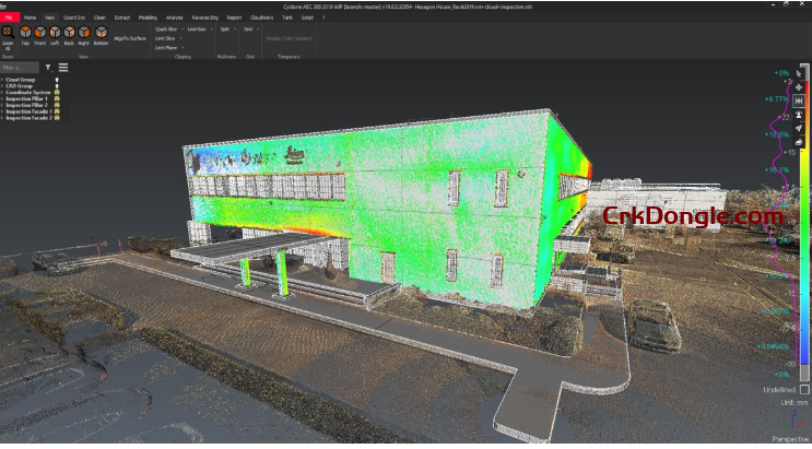
Leica Cyclone 3DR 2025 is a powerful software solution that transforms point cloud data into accessible 3D models and actionable deliverables, leveraging automation and AI classification tools. Where most software will focus on a single workflow to create a specialised deliverable, Cyclone 3DR 2025 includes a range of adaptable tools for inspection, modelling and meshing that can be leveraged to create an assortment of 3D deliverables and reports.
As a key part of Leica Geosystem’s reality capture software portfolio and the field-office-cloud workflow, Cyclone 3DR works hand in hand to take users from field data collection with Leica Cyclone FIELD 360 through registration in Leica Cyclone REGISTER 360 PLUS, collaboration in Reality Cloud Studio, powered by HxDR, and deliverable creation in downstream products like Leica CloudWorx.
With an intuitive design, Cyclone 3DR allows both new and experienced users to move from import through analysis to publishing and reporting intuitively and simply. By utilising AI Classification and automated point cloud processing, customers can save time, streamling their workflow to quickly deliver actionable information to clients. Learn more about AI Classification in Cyclone 3DR in this article.
Cyclone 3DR key benefits:
High-Quality Data Preparation: A complete and flexible toolbox for cleaning 3D data ensures accurate models by reducing noise and errors.
AI-Driven Automation: AI segmentation tools and powerful scripting enhance accuracy and efficiency in data processing and task automation.
Detailed 3D Visualisation: Advanced 3DR meshing and texturing engine produces realistic 3D meshes for enhanced visualisation and analysis.
Comprehensive Data Analysis: Offers unlimited inspection methods for reality capture data, improving decision-making with thorough analysis tools.
Precise Industry Models: Industry-focused features enable the creation of accurate 2D and 3D models tailored to specific needs.
Seamless Interoperability: Smooth LGSx integration, CAD connectivity, and support for all industry formats, including BIM [IFC, RVT, FBX, BCF].
Industry-Specific Solutions: PRO Edition packages include specialised tools for AEC, Survey, and Plant industries, enhancing project efficiency.
User-Friendly Learning Resources: Online documentation, tutorials, and e-learning courses reduce the learning curve for quick proficiency.
Streamlined QA/QC Operations: Scan2Verify transforms scan data into prefilled reports, simplifying verification processes.

